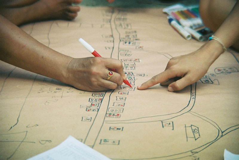
Tool 7 – Community Mapping
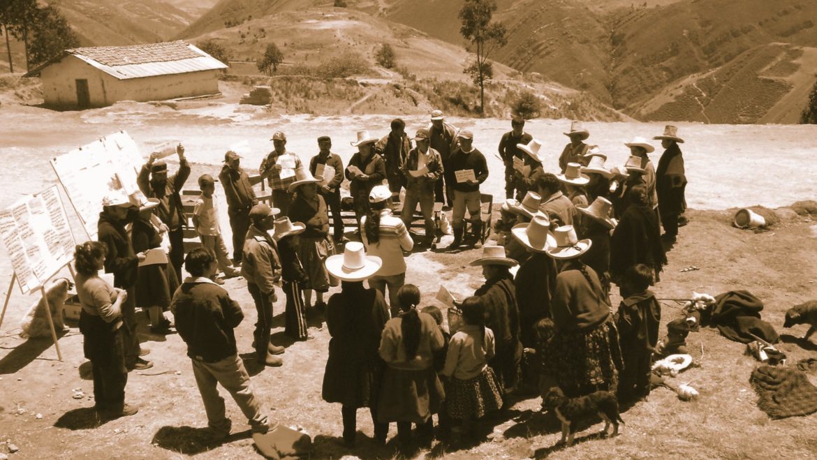
A community map helps local people engage in a project by highlighting their sense of boundary space. It is also a chance for them to mark places of importance that teams may be unaware exist, for example sacred sites or clan boundaries. It is a useful exercise that develops communication, increases knowledge of local environments and can be used as the first step towards creating a Community Action Plan (p165) (CAP) or for the initial analysis of a social baseline study (p127).
STEP
1
Invite all community members to the workshop
STEP
2
Divide into groups
STEP
3
Ask the groups to draw maps of their environment including buildings, cultural landmarks and areas of importance
STEP
4
Compare and discuss maps noting similarities and differences
Source: Training Kit on Participatory Spatial Information Management and Communication,
Module 8, Ground and Sketch Mapping. CTA, the Netherlands and IFAD, Italy
See http://pgis-tk.cta.int for further information
(Photo. Steward Brown, 2010)
Sources:
IFC, Investing in People: Sustaining Communities Through Improved Business Practice. A Community Development Resource Guide for Companies. Washington DC, 2001. Available here https://www.ifc.org/wps/wcm/connect/1dc2e10048865811b3fef36a6515bb18/CommunityGuide.pdf?MOD=AJPERES
National Environment Secretariat, Government of Kenya; Clark University; Egerton University; and the Center for International Development and Environment of the World Resources Institute, Participatory Rural Appraisal Handbook: Conducting PRAs in Kenya, December 1991.
Oduor-Naoh, E. et al. Implementing PRA: A Handbook to Facilitate Participatory Rural Appraisal, Program for International Development, Clark University, Worcester, MA, 1992.
Other participatory tools references are listed on p. 47 of the IFC, Stakeholder Engagement: A Good Practice Handbook for Companies Doing Business in Emerging Markets, Washington DC, 2007.